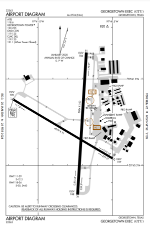
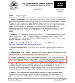
Thanks, Cobra--and sorry, Dennis. I was wrong in saying "Most small airports don't have diagrams." Some do. Apparently
all hard-surfaced airports with instrument procedures have diagrams. That includes non-towered airports with hard surfaces and instrument procedures. So Dennis is right-ish and I was wrong-ish. And evidently iFly is wrong-ish, too--in two ways. See below.
(This opens up a HUGE can of philosophical worms--as I've been discovering in the past few minutes. More about it below, too.)
iFly
automatically provides an overhead photo of a small airport when you zoom in a bit or fly close to it.
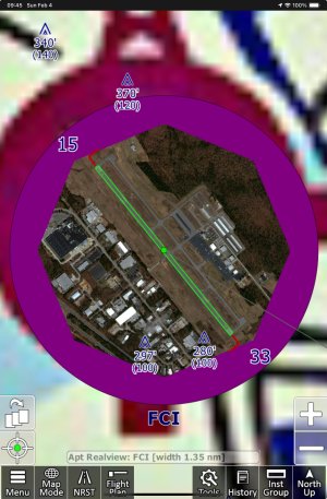
I can zoom in far enough to see a reasonable amount of detail and pan around to see it all:
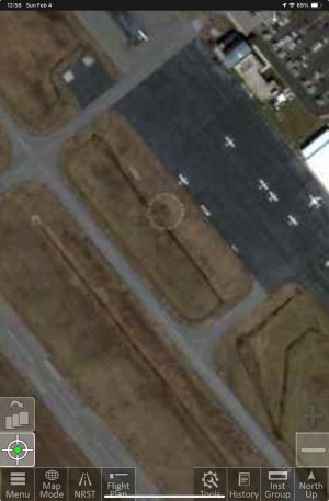
The important word here is "
automatically," and it's directly related to iFly's design philosophy, that tries to make things seem intuitive for the pilot, especially when in flight. That philosophy inevitably leads to compromises--because we all know that this stuff isn't simple at all.
Anyway, iFly does not display those small airport diagrams--or at any rate, it hasn't displayed them to me, and I don't think it it does download them. Here's why:
If I tap on a "small" airport I find this, with a "View Diagram" button:
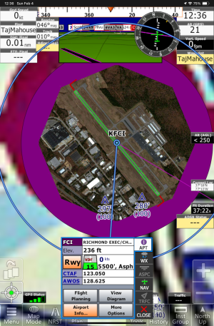
Tap "View Diagram" and see:
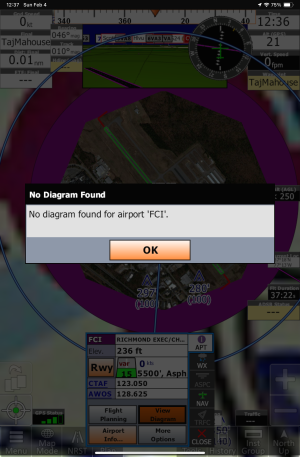 KFCI has instrument procedures for both ends of the runway.
And it's the same for all similar "small" airports I've tried. So I have to conclude that iFly doesn't have those diagrams. That appears to confirm denniscormier127's observation.
So I think this is a bug and have filed a bug report from within iFly on my iPad Mini 6.
Also, when I zoom iFly in on a "large" airport I automatically see the diagram:
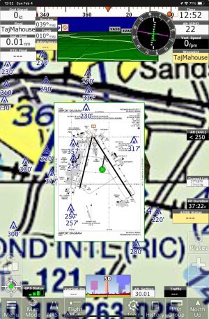
...and I know that it's also possible to see the Realview of the airport, too. I tap on the airport (the green dot here) and then the "More Options" button that appears--to see this menu:
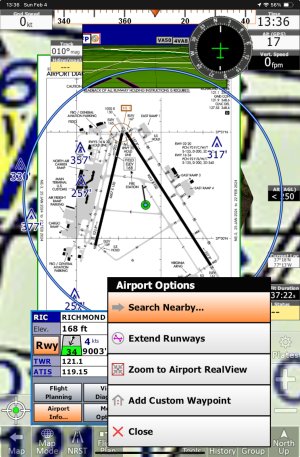
...containing those useful functions, right there, when and where I need them. That seems intuitive, to me.
Hah. So I tap "Zoom to Airport RealView" and get...
YOICKS!
I get nuthin'. It ain't nuthin' there. Whut th--?!!!
Well. Not what I expected.
As Cobra suggested, above, I've also checked Menu > About > Chart Expirations > Airport Diagrams--and all the others. (I'd never noticed it, either.) No light there.
So I've just filed a second bug report from iFly (iPad Mini 6).
Phew. Jeez Louise.
Okay, now for a few worms from that metaphorical can of philosophies I mentioned at the top.
Garmin Pilot (grudgingly) makes it possible to see small airport diagrams if you dig deep enough into the menu structure. For example, searching in Pilot for KFCI gets you this (after you figure out which of many tiny icons to tap on:
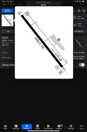
It sure looks like an airport diagram.
It's Garmin's answer to iFly's Realview photo. Which of them is more useful probably depends on the pilot and the occasion. But I'd sure hate to have to find Garmin's while getting ready to land there.
In fairness, Garmin Pilot makes it possible to see a higher-res photo than Realview and that can be zoomed out to show the whole world, without leaving the app for an online map. (If you can find it.)
RealView Size:
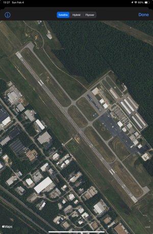
Zoomed out a bit.
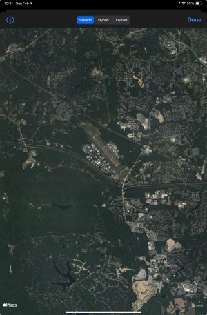
This view would be very helpful in planning a trip in hill country--or even to KGAS, for example, which has an odd hill parallel to the runway such that you can't see the runway from downwind. But I wouldn't want to wait until downwind to discover that--so "planning" is the operative word here.
Well, okay. So Garmin and no doubt ForeFlight has lots of stuff that iFly doesn't--and probably shouldn't--have.


