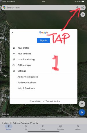
An idea came to me the other day in reference to this request. I don't know anything about programming, and don't even know if it's possible, or if I'd ever use this feature, having said that, here's my idea/question:
Would it be possible to display only the items we can add in the "Inst Group" setup. But have the rest of the map invisible, and allow another program show through? For example. You could have your local mapping program displaying the position of your device on a satellite view, and iFly would only place those items in your chosen Inst. Group (Heading Tape, Altitude, Time to next waypoint, destination, etc.)

The "Native mapping program" above could be whatever other program you have on your display that you may want to look at while having your chosen critical information (heading, on course heading, destination, etc.) displayed for easy reference. This would seem only really useful for VFR, and ideally to let those that want to use their internet connection while airborne to show their chosen brand of mapping, but could be used to have anything else on their device to show through.


