- Joined
- Apr 13, 2023
- Messages
- 386
- Reaction score
- 64
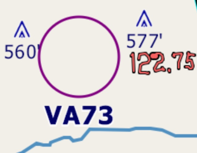
I really like the recent (beta) improvements--including TFR and airspace depiction--in Vector maps. They're now almost informative enough for confident VFR flight into unfamiliar areas. Also, they make TrackUp mode MUCH easier in Vector because all text is rightside up. (I might even try using it now and then). And the lack of clutter makes Map Sketch much more useful.

However, I'd suggest two further improvements:
1. An option to make the various obstruction and terrain switch settings different for VFR and Vector.
2. A split-screen option to display VFR and Vector maps at the same time, similar to what we have now for EFIS and Maps. This would be especially helpful when GPS reception goes away and you suddenly have to navigate by pilotage. (That has happened to me three times in the past decade, twice because of "GPS testing." No one would 'fess up to "testing" on the third occasion.)
