- Joined
- Dec 5, 2023
- Messages
- 115
- Reaction score
- 25
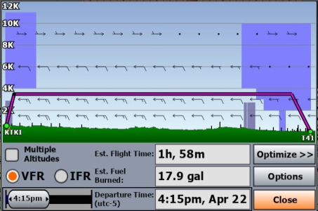
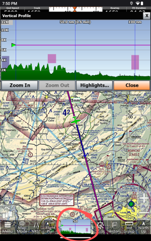
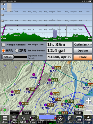
I am trying to plan a 3 hour flight over new terrain and can't figure out how the terrain advisor works. I thought it worked like FF but I may be wrong. What I would like to get is a horizontal view of my elevation AGL throughout the flight, similar to the screen shot below. Is this possible in iFly?


